Louie Kamookak discovers John Rae’s cairn
The late Louie Kamookak has rightly been celebrated as
a searcher for John Franklin. But more significantly, in my view, Louie was the
man who discovered the cairn that explorer John Rae built in 1854, marking the final
link in what would prove to be the first navigable Northwest Passage. I touched
on that in Dead Reckoning, but I detailed
the adventure in Fatal Passage. There,
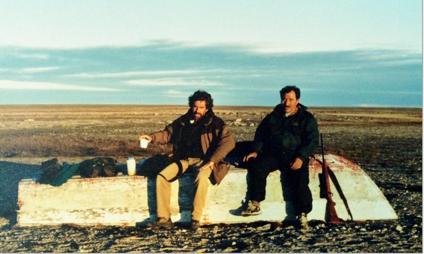
I described how in 1999, from Gjoa Haven, we set out east across Rae Strait in
Louie’s twenty-foot motorboat. Quoting now:
During the thumping, exhilarating ride across waters so cold that a
swimmer would not survive ten minutes, and in which hitting a floating log
would mean almost certain death, I scribbled in my notebook, “Incredible to
think that I should find not one but two fellow madmen to join me in this
lunatic quest.”
Once we had established our camp on the coast of Boothia Peninsula, our
first objective was to find the cairn that Rae built. Fortunately, the explorer
not only described the place where he created the marker, but also noted its
geographical co-ordinates. Both Cameron Treleaven and Louie Kamookak carried
Global Positioning System receivers that draw on globe-girdling satellites to
specify locations and distances.
John Rae, of course, had been forced to rely on less sophisticated
equipment. Because he was meticulous, his latitude reading, I believed, would
be quite precise. But in the mid-1800s, the portable technology to provide
accurate longitude readings had yet to be perfected. Indeed, when I checked the
map, Rae’s longitude put the cairn far inland, which did not match his
description of having travelled north along the coast.
Even so, we headed inland that first morning, roughly northeast, with a
view to reaching Rae’s designated point and then heading west along the correct
latitude so that we could not possibly miss the cairn. Under a limitless blue
sky, we hiked for hour after hour across treeless, rock-strewn tundra, slogging
through marshes, scrambling over ridges, and occasionally spotting caribou in
the distance. A couple of times, we sighted landmarks that resembled grand
cairns on the horizon, but they proved always to be giant rocks.
At about three o’clock in the afternoon, when we arrived at a broad
inlet we had hoped to ford, we discovered that at best this would mean wading
fifty yards through freezing, fast-flowing, groin-deep water while sinking in
rock-filled mud to our knees. Treleaven insisted that we could do it, and maybe
he was right. Kamookak wryly observed, “It’s too much work, this Rae stuff.” He
and I voted to add a couple of miles to our hike, so instead of fording, we all
three walked around.
At 4:30 p.m., we again approached Rae’s latitude, only now we were
hiking north along the coast, the three of us strung out eighty yards apart,
scouring the landscape. As we approached the tip of the peninsula that Rae had
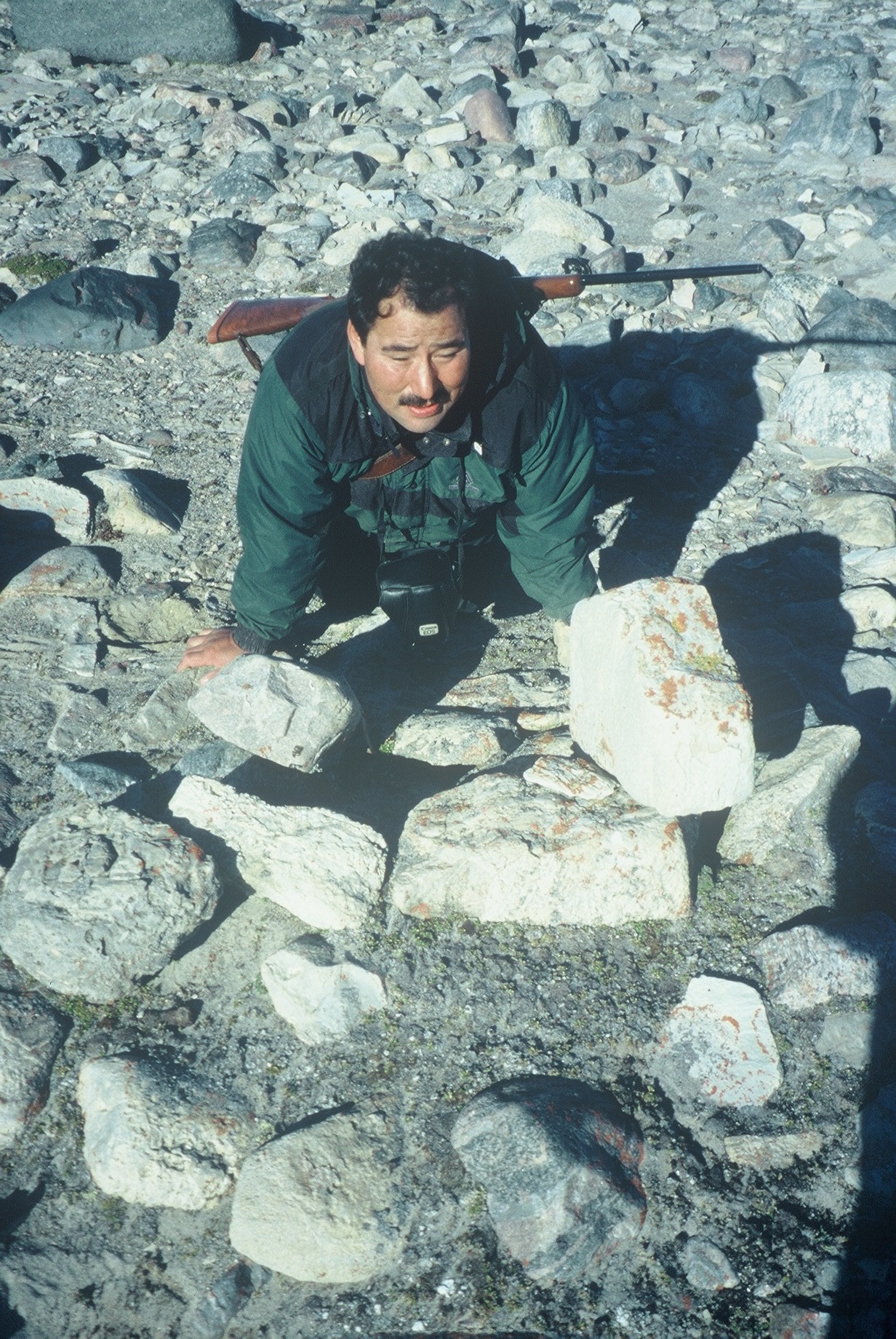
named Point de la Guiche, Kamookak, who was travelling along a ridge, found
what looked like the remains of a cairn. Instead of hollering, he simply placed
his GPSreceiver on
the capstone, sat down, and waited for Treleaven and me to join him.
The cairn itself had been dismantled but was still clearly recognizable
as a human creation, even with its stones covered in yellow and black lichen.
Nor was it the kind of cairn, Kamookak explained, that hunters would build to
cache game: the builder of this cairn had placed big rocks in the centre on top
of smaller ones, a practice that would crush fresh meat. It was the only
man-made structure for miles. And the GPS told us that although the longitude
of this spot differed from Rae’s by three minutes and thirty-six seconds, the latitude
agreed within a few yards. This was indeed Rae’s cairn.
Standing in the wind with open water visible to the west, the northwest,
and the northeast, I could see the scene as it had unfolded in thewintry snowscape of early May 1854. A resolute man of forty-one, Rae had
led his small party across ice and rough country for over 320 miles, man-hauling
sledges through blizzards, gale- force winds, and temperatures as low as minus 62
degrees Fahrenheit. All the men suffered from snow-blindness, and one froze two
toes. Only Rae and his two hardiest men—the Inuit William Ouligbuck, Jr., and
the Cree Thomas Mistegan—reached this spot on the west coast of Boothia
Peninsula. . . .
[In 2019, the Arctic Return Expedition intends to retrace
Rae’s route and revisit this location.]
